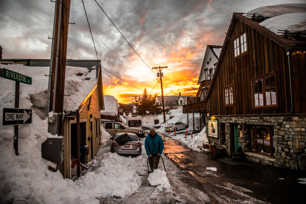
The sun sets above Truckee, Calif., near Lake Tahoe, on Friday, March 10, 2023.
San Francisco Chronicle/Hearst N/San Francisco Chronicle via GettLake Tahoe snow totals have been so low that some anxious locals on Reddit have joked about making offerings to snow gods in hopes of fresh powder.
But those prayers may soon be answered, at least to an extent.
Two snowstorms are expected to hit Lake Tahoe this week, a welcome sight to the area that has been starved for snow so far this season. The Tahoe area has received less than a third of the snow that would be expected by this point of the winter.
Advertisement
Article continues below this ad
The Central Sierra Snow Lab says the first storm is likely to start around 7 p.m. on Tuesday, with the heaviest snow falling between 10 p.m. Tuesday and 4 a.m. Wednesday. Tahoe’s highest passes are expected to get 12-14 inches, while 3-6 inches are predicted in the Tahoe Basin.
The next storm, which should arrive this weekend, could bring even more snow. The National Weather Service forecasts a 40-60% chance that the Sierra crest could eclipse 18 inches Saturday and Sunday, with the Tahoe Basin getting as much as a 8 inches.
The two storms could make driving conditions hazardous. Tuesday afternoon, the weather service’s Sacramento office issued a winter storm warning, saying the snow and wind conditions could make “travel conditions difficult to impossible.”
Tony Fuentes, a meteorologist with the weather service’s Reno office, said there are a couple periods where travel could be easier.
Advertisement
Article continues below this ad
“There will be some scattered showers on Wednesday, but overall, most of the heavy snow will be done,” he said. “So Wednesday afternoon, really through Thursday look probably like the best windows.”
Fuentes added that though a few snow showers are expected Friday, it should be a better driving day than the weekend. He urged potential drivers to check with Caltrans and the Nevada Department of Transportation before making the trip.
“This will be the least amount of snowfall at the start of the winter since the 1995-1996 winter and will be 4th … least snowy start to winter since 1970,” Andrew Schwartz, a scientist with the Central Sierra Snow Lab, said in an email to SFGATE.
Advertisement
Article continues below this ad
While these two storms are expected to be significant, they are unlikely to do much towards moving the needle towards a normal winter.
“To this date, we’d expect to have 100” of snowfall and we’ve received 32”,” Schwartz wrote of the levels taken at the Central Sierra Snow Lab. “If we look broadly at the statewide conditions, we’re only at 25% of average to date. The two storms that are coming in the next several days will help but they won’t get us back to average or really even close.”
But Schwartz says it isn’t time to panic, yet.
“We’ve had slow starts to our snow season before and recovered but we’ll need to see things start to change to wetter conditions in the next 4-6 weeks to give us some hope of that happening,” Schartz wrote.
Advertisement
Article continues below this ad