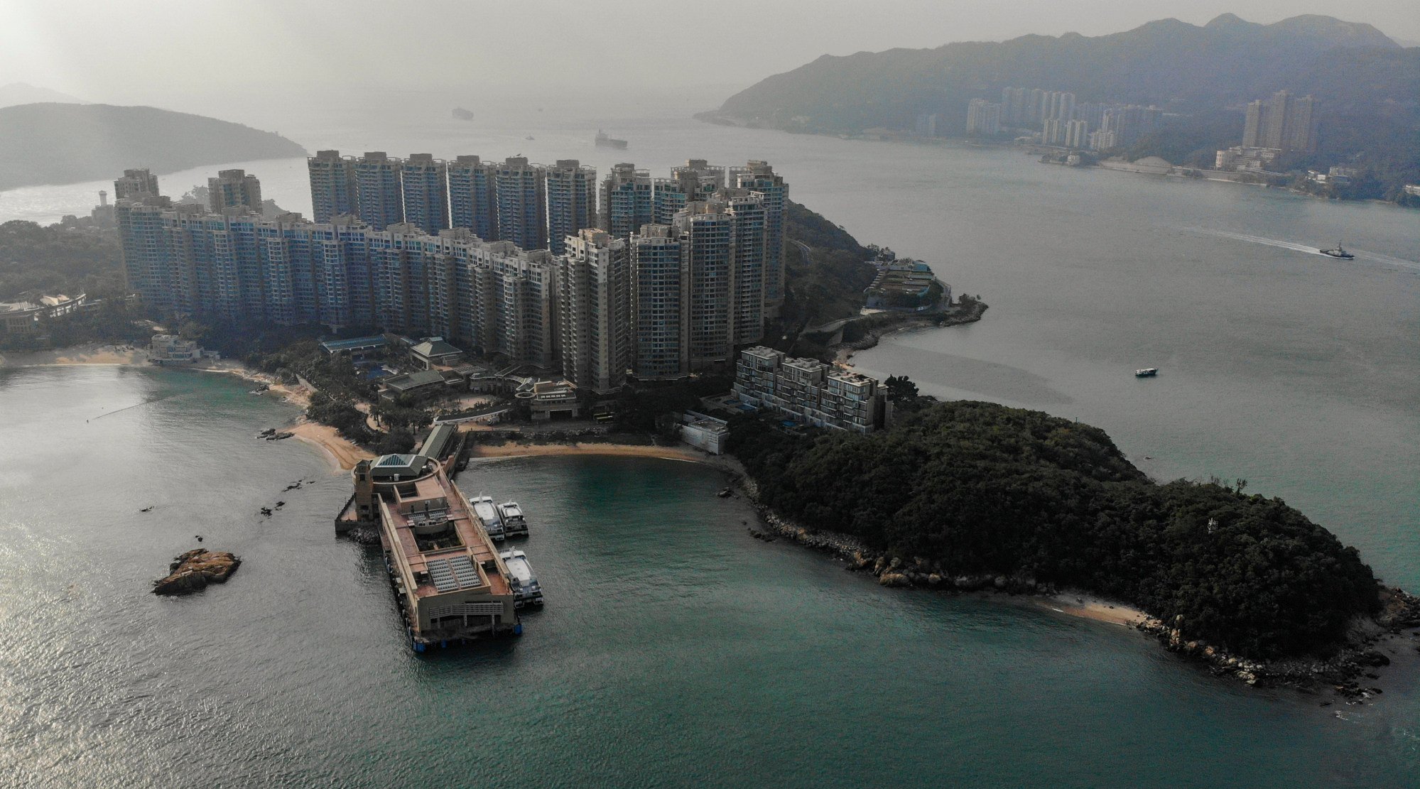
Now the erstwhile fishing villages on either side of Aberdeen Harbour are forests of high-rise blocks. Between them, the dinky little ferries shuttle to and fro amid the not-so-fragrant whiff of fish, seawater and motor oil.

It is a gloriously quirky ride, and it helped get me mildly obsessed with Hong Kong’s varied transport options. Then, in January 2021, as Covid-19 was sweeping across the world, and with international travel near impossible, I stumbled across the Hong Kong Transport Department’s list of officially licensed ferry and regular kaito services (a kaito being a small motorised boat) that mostly service more remote routes.
But there were more. Ma Wan to Tsuen Wan West, Ma Liu Shui to Kat O, Sai Wan Ho to Tung Lung Chau, Ko Lau Wan to Chek Keng, Aberdeen to Ap Lei Chau … Wonderful names, some of which I’d never heard before – all within the 2,755 sq km (1,060 square miles) that make up the Hong Kong Special Administrative Region’s land and sea area, although they might as well have been a million miles away.

And so a mission was born: to take every ferry and kaito on that list, and some other routes besides.
Water transport has always been part of Hong Kong. Ever since settlers from China, Europe, the Indian subcontinent and elsewhere arrived in this part of the south China coast, the easiest and often only way to move about among the innumerable islands, inlets, coves, bays and fishing villages, and later ports, dockyards and warehouses, was by boat.

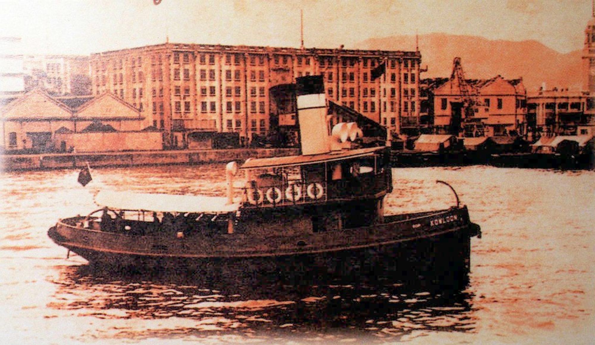
These days, the trip takes more like 10 minutes, although the vessels are still redolent with history – venerable dark-green-and-white-hulled, wooden-benched affairs that exude at least as much charm as exhaust fumes.
The days when Hong Kong’s economy was centred on fishing and salt-panning are long gone. Retail, property, logistics, banking and other professional services now dominate. And as roads, tunnels, bridges, buses, rail and subway services, and even a double-decker tram were built, the need to travel by boat faded.
Still, a significant network of sea-based routes remains, linking locations that would otherwise be hard or even impossible to reach.
It also connects past and present, representing hundreds of years of history and heritage and giving Hong Kong a multidimensional land-and-sea charm that makes it doubly worth exploring.
To take every one of these ferries is harder than you might think. There are about 40 official, regularly scheduled routes among more than 50 points in Hong Kong, linking more than a dozen of its 263 islands and two dozen locations on Hong Kong’s mainland.
Nine routes are serviced only on weekends and public holidays. One runs only on Tuesdays and Thursdays. Yet another operates on only two days a year. Some routes are accessible only with a permit.

Even the connections across Victoria Harbour, in the heart of the city, include several of which only local commuters (and ferry enthusiasts) are aware.
Taking every one of these routes became a motivator, a reason to get out and about, and to continue to like Hong Kong despite three-week quarantines, blocked-off playgrounds, and the government-mandated mass killing of pet hamsters.
And while meeting with more than one person in public was forbidden, public transport, including ferries and kaitos, remained untouched by this Law of Tiny Groups: as long as you were fully masked up, you could be in the same boat as several hundred other people.

Now, some 18 months after the last of the restrictions finally ended, and more than three years after I truly got hooked on this city’s ferry options, the appeal remains.
What’s not to like about sitting back on the top deck of a clunky open-air boat that moves you from A to B, and maybe on to C and D, watching skylines, coastlines, container ships or swooping birds go by?
Or relaxing into the comfy seat of one of the larger air-conditioned boats on the way to a seafood lunch? The smell of salt. The reek of oil and paint. The rumbling engines. The lurch in your stomach when a particularly large wave strikes the ship.
And then there are the destinations at each end, all as varied as the routes. There are gentle walks. Serious hikes. Neighbourhood explorations. Beaches, temples, seafood restaurants and cafes.
The ones below give you a pretty good sense of that variety, so if you have a day, a week or a month to spare, check them out.
1 Ma Liu Shui to Tung Ping Chau
Marooned at the far side of Mirs Bay, in the far, far east of the territory of Hong Kong, Tung Ping Chau is as far from Central and Hong Kong Island as it’s possible to get.
Spot it on a map, and you’ll likely assume it’s part of mainland China – the coast of which is only about 3km (2 miles) away.

All of which makes for one of Hong Kong’s longest ferry rides, at 90 to 100 minutes. The service operates on weekends and public holidays only, departing from Ma Liu Shui pier, which in itself is an hour’s journey from Central.
But it’s worth the slog. Once you’re on board the ferry, sit back and watch the urban surroundings give way to hills, cliffs and coves on either side, and ultimately to open waters, as the boat motors northeastward.
Slowly, Tung Ping Chau materialises in the distance, looking not unlike a wonky layer cake.
This flatness is jarring: for while much of Hong Kong’s territory is craggy peaks and ridges, Tung Ping Chau is made up of finely layered sedimentary rock, deposited here 50 million years ago.

The stratified layers are clearly visible, and erosion has created fantastic rock formations that have geologists salivating, and ordinary people, well, at least photographing the hell out of the place.
One of the most recognisable sights is a pair of rocky “watchtowers”, known as Kang Lau Shek, at Tung Ping Chau’s southeastern tip.
The clear waters around the island, meanwhile, are home to dozens of coral species, so there’s an extra draw for anyone interested in marine biology.
It takes about three hours to walk around the island. The return ferry leaves late afternoon, so there’s plenty of time not just to take photos, but also to get your feet wet in one of the many rock pools, and to have a meal.
The settlements on the island were once home to 2,000 people. Now only a handful remain, or return at weekends, to feed simple meals to hungry visitors.
2 Sha Tau Kok to Kat O and Ap Chau
For decades Sha Tau Kok, on the border with mainland China, was out of bounds to pretty much anyone who didn’t live there.


Fun fact: Sha Tau Kok pier is the longest in Hong Kong. It stretches nearly 300 metres into the sea to allow vessels to berth. From here, a journey of about 25 minutes takes you to the aptly named Crooked Island.
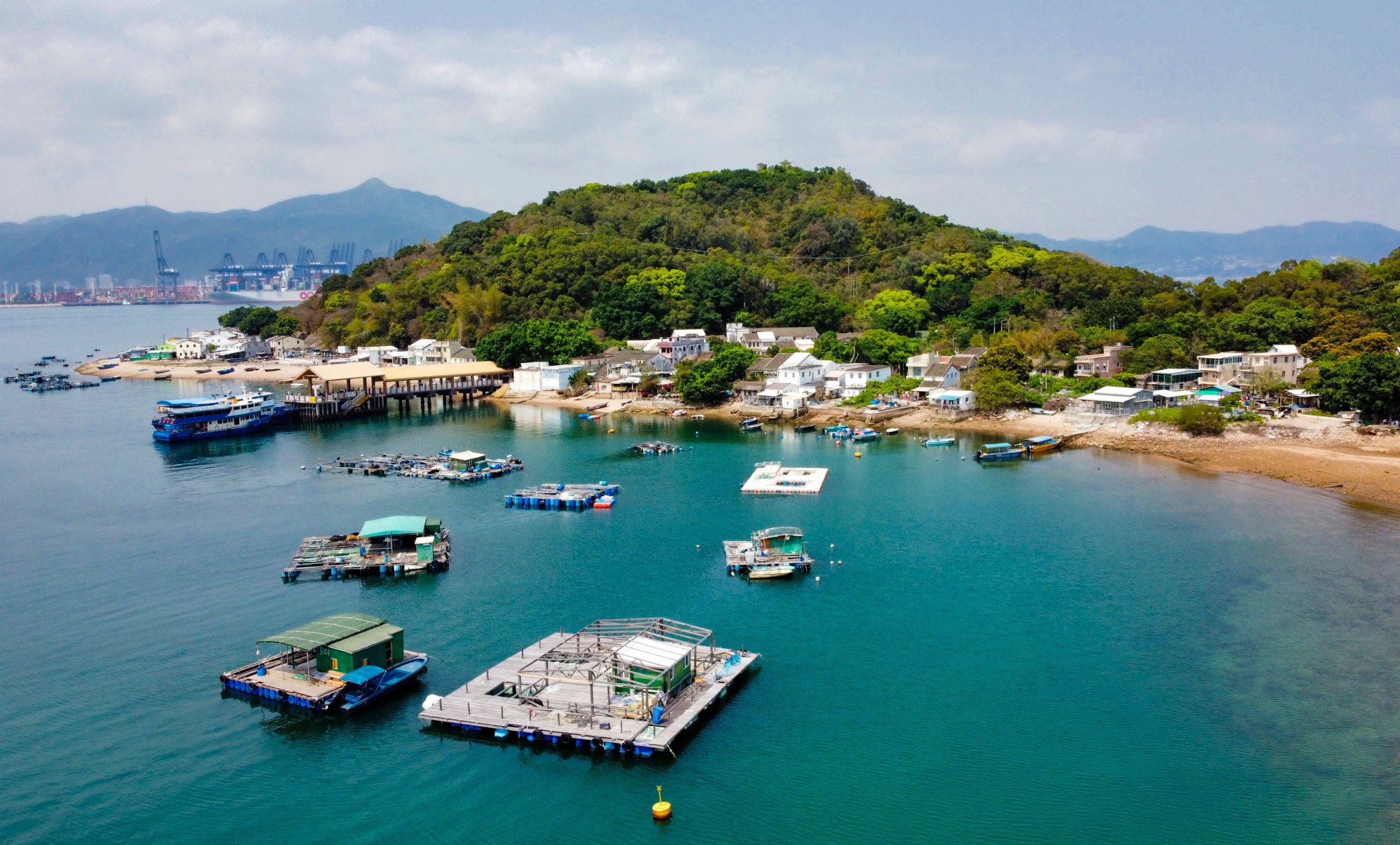
A couple of friendly family-run restaurants along the main village street serve up Hakka pork and other dishes. Many of the single- or two-storey houses of what was once a vibrant fishing village stand empty or even crumbling, however. Like in other communities nearby, many inhabitants emigrated to Britain in the 1960s and 70s.

Signs recall what some of the dwellings used to be: shops selling fruit, pork or herbal medicines.
A couple of hills above the village provide fabulous panoramas over the quiet and clear waters all around. To the north, China-side, one of the busiest container ports in the world looms nearby, at Yantian. It provides a jarring contrast to the peaceful setting, though Kat O itself appears almost oblivious to it.
A 15-minute hop away is Ap Chau, or Duck Island, so named because its outline resembles the head of a duck. A large sea arch provides the creature’s “eye”.

The rock here is breccia – compacted coarse gravel and sand formed millions of years ago – and this is one of the only locations in Hong Kong it can be found.
3 North Point to Joss House Bay

From North Point, the ferry journeys east, exiting Victoria Harbour at its narrow, eastern end, and eventually depositing the goddess’ visitors right opposite her temple.
Take your time to enjoy the atmosphere before heading back. Or, if you feel like exploring, look for the path that leads up the hill behind the temple.
It will take you past a rock inscription dating to 1274, and then up to the quiet Tai Au Mun Road. Here, you’ll find the start/end of the High Junk Peak Country Trail.

The final ascent to the 344-metre (1130-foot) shark-tooth-shaped peak involves a short but challenging climb: be sure to wear firm shoes.
Alternatively, keep going along Tau Au Mun Road and you’ll quickly find Po Toi O Chuen Road on your right. A few minutes’ walk downhill is Po Toi O village, where you can pick up a beer, a meal and a minibus.
Tin Hau’s birthday falls on the 23rd day of the third lunar month, which this year was May 1. So if you want the bragging rights for taking Hong Kong’s rarest ferry ride, you’ll have to wait almost another year.
4 Sai Kung to High Island
Sai Kung and its surrounding country parks make up most of the southeast of the New Territories. The area’s relative remoteness and crystal-clear waters give it a holiday feel, and you could spend weeks exploring its hiking trails and islands.
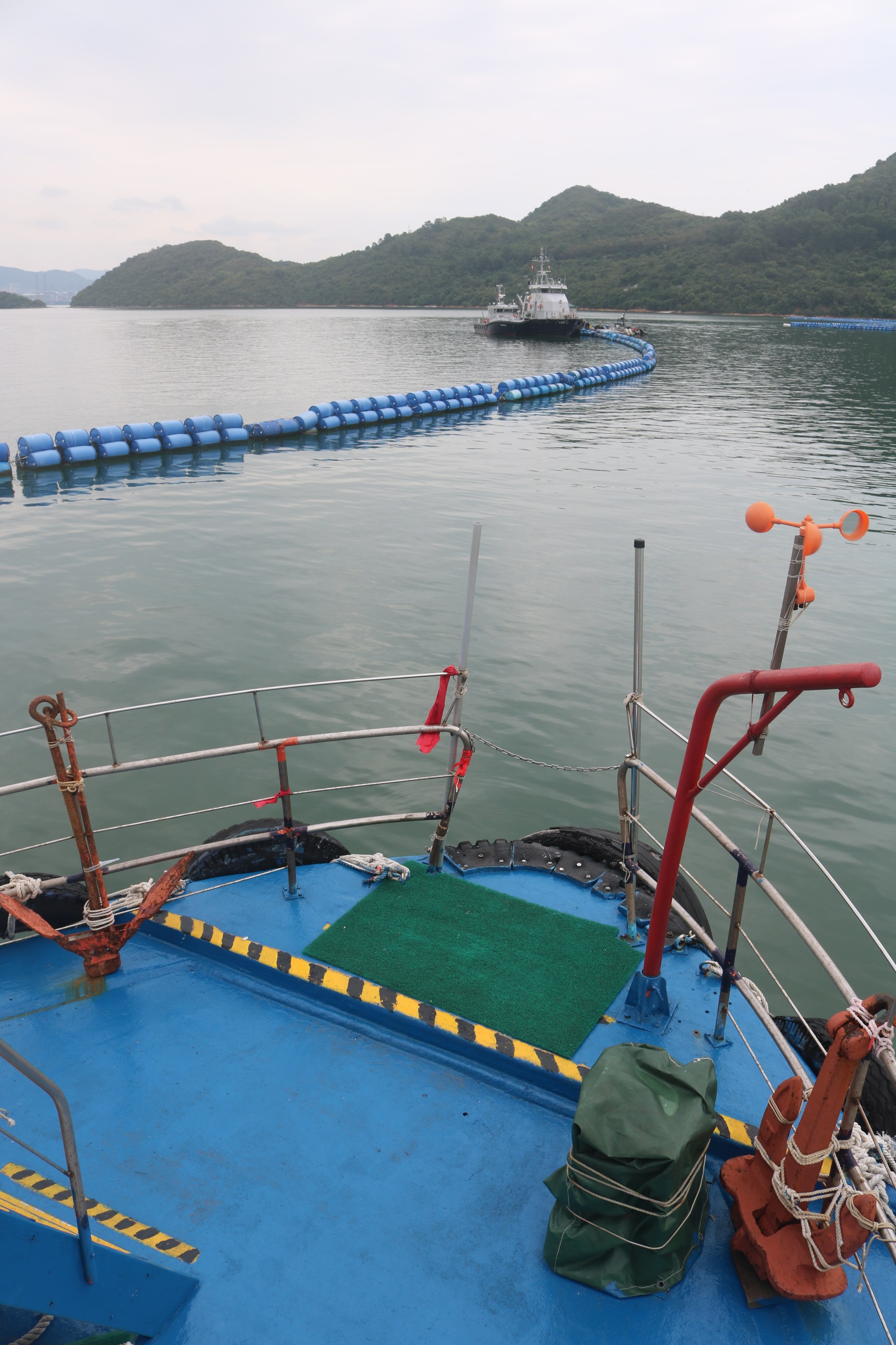
One of the nicest regular kaito routes in all of Hong Kong began to connect Sai Kung town with High Island late last year. It operates on weekends only, and is perfect for exploring an area that was previously only accessible via a multi-hour hike, infrequent minibuses or on-demand-only kaitos.
The lovely one-hour ride glides past numerous islands before arriving at Tung A village on High Island.
A new ferry pier is under construction here, but that doesn’t spoil the atmosphere. So stop off for a meal or follow the paved path to Pak Lap village, further along the coast. As it crests a hill, you get a lovely view over the bay below.
A beachside cafe here rents out camping equipment and kayaks (depending on the season), and organises speedboats if you want to make a quick return to Sai Kung.

But why rush away? A rough trail will get you to Mok Min Cave – actually an arch in the steep cliffs – in about 25 minutes. Another hour or two, and you’re at one of the two huge dams that form the High Island Reservoir, Hong Kong’s largest.
Check out the picturesque hexagonal rock columns at the dam’s northern end. Formed by volcanic activity millions of years ago, they feature on some versions of the HK$500 banknote.
From the dam, take a minibus or taxi along the reservoir back to Sai Kung town. Or retrace your steps and journey back via sea.
5 Central – Ma Wan – Tsuen Wan West

There’s not much to see or do on Ma Wan island. It spans only about 1 sq km, the bulk of which is taken up by the large and slightly sleepy Park Island residential development.
The massive Tsing Ma suspension bridge, part of the Lantau Link that connects Hong Kong International Airport to the city centre, looms over an amusement park that features a replica of Noah’s Ark.
Still, the sheer quirkiness of the location, plus the ferry rides that bookend a visit, make the trip worthwhile.
The 22-minute route from Central motors past container terminals and oil depots. As it approaches its destination, it passes under the Tsing Ma Bridge, leaving you in awe of its size.

On the left, several small beaches are overshadowed by the steep coast and a busy highway that runs high above. To the right, shipyards and fishing vessels gradually give way to yachts and high-end housing blocks.
The ferry docks right by Tsuen Wan West MTR station. If you have time to spare, keep going, though: the streets inland from here feature some colourful markets, where you can buy anything from pillowcases to pigs’ trotters. Keep an eye out for the walled Tak Wah Park, a delightful haven of ponds, pavilions and plants.


