Gary Lessor, a meteorologist with the Weather Center at Western Connecticut State University in Danbury, predicted on Friday that Danbury and areas south of the Interstate 84 corridor will get 4 to 9 inches. Areas north of the I-84 corridor are expected to get 6 to 12 inches of snow, Lessor said. The shoreline is expected to get 2 to 5 inches of snow, he said.
Advertisement
Article continues below this ad
Bill Jacquemin, a meteorologist with the Connecticut Weather Center, said Thursday that the heaviest amounts of snow could fall on Danbury up to Hartford and parts of Litchfield County.
“This is a developing storm situation,” Jacquemin said Thursday. “I’m prepared for ‘plowable’ snow that’s going to affect traffic. It’s not a blizzard — nothing like that — but people forget to travel in snow, so that’s always a learning curve with the first snow of the year.”
By Friday afternoon, Jacquemin said he was expecting the snow to develop during the mid- and- late afternoon on Saturday in the Danbury area “and then become steadier and heavier” on Saturday night. He said the snow could mix with sleet and rain after midnight on Saturday, and then turn to all snow Sunday morning. Winds will increase Saturday, and total snowfall should be in the range of 6 to 9 inches “with the higher amounts the further north you travel,” Jacquemin said.
‘Ready to go’
Advertisement
Article continues below this ad
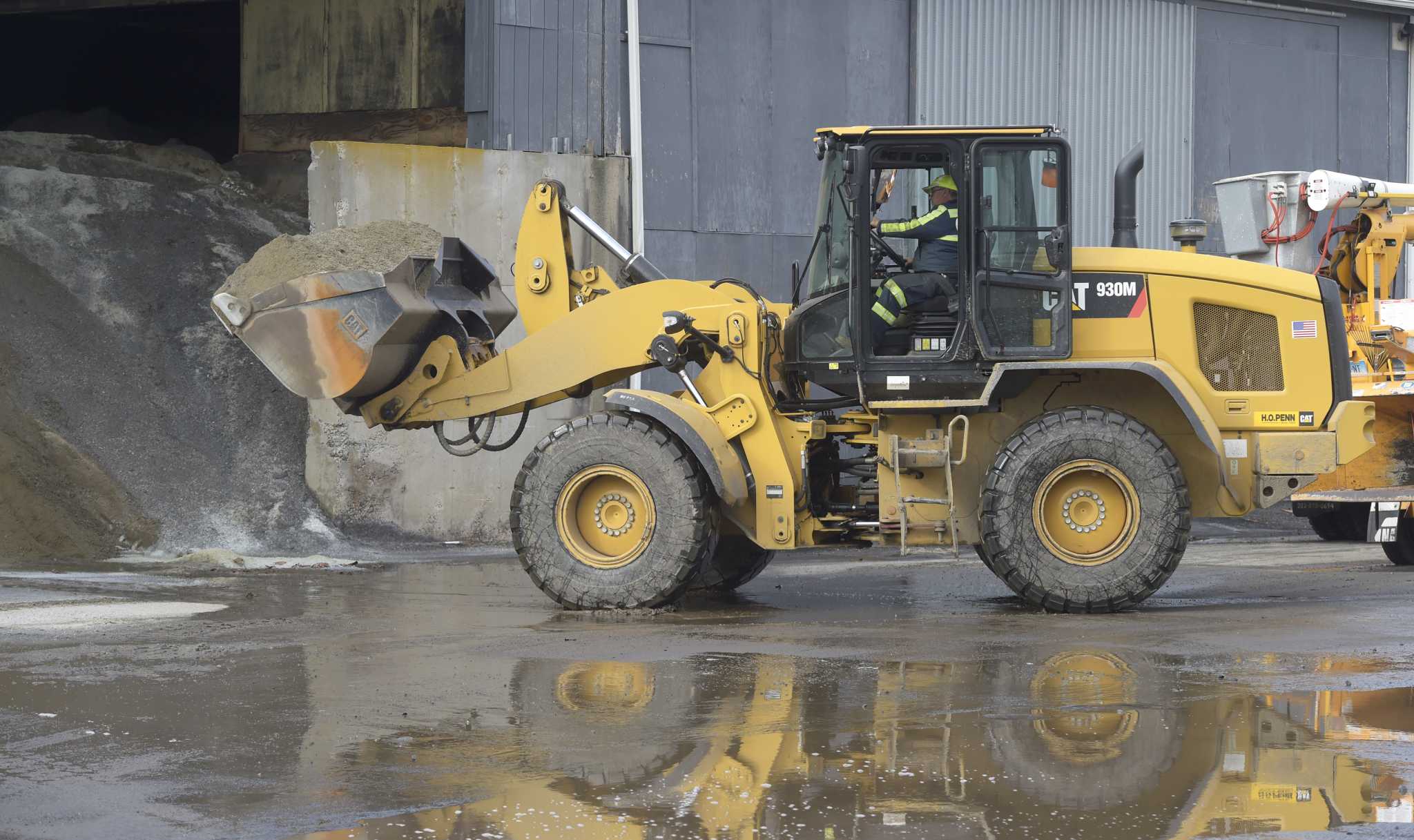
Officials and crews in Danbury and the surrounding towns have spent the last few days checking the weather reports and making sure their equipment is ready in preparation for the incoming storm.
Tim Nolan, Danbury superintendent of public services, said his crew have checked their equipment to make sure everything is ready and available for the storm, as well as closely monitoring available weather reports.
“We’re preparing a preparedness report for the mayor and we’ll stand ready to make sure we’re all standing on our routes before the snow starts hitting the ground,” Nolan said. “There’s 34 main plow truck routes and dozens of other routes for schools and smaller roads and parking lots. We’ll also be meeting at a higher level to discuss the readiness of the city.”
Francesca Capodilupo, spokeswoman to Danbury Mayor Roberto Alves, said the city is planning for “a potentially large snowstorm” that is projected to pass through Danbury Saturday evening into Sunday.
Advertisement
Article continues below this ad
“The mayor, the Office of Emergency Management, Public Works and the Danbury police department have ensured emergency services, snow plows, personnel and plans for different levels of snow emergencies are in place and ready to respond if necessary,” she said.
Nolan said he advises Danbury residents to monitor the city’s website for emergency weather warnings and to remove their vehicles from the city streets to let his crew plow the streets.
“We’ll be on the roads till it’s clear,” he said.
In the neighboring town of Bethel, First Selectman Dan Carter said he’s been in contact with the town’s highway department and watching the storm reports closely.
Advertisement
Article continues below this ad
“Like everyone else, we’re waiting for what happens,” Carter said, “but we’re ready — our guys have been working hard and are ready to go. It’s going to be a significant snowstorm — it’s going to be a good weekend for people to stay home.”
Meanwhile in Redding, Public Works Director Jamie Gracy said his department started getting its trucks ready for snow in October to prepare for storms ahead of time.
“The only time we get in a jam is if we get storms back to back,” Gracy said, “but right now, as far as our trucks go, we’re all ready to go. Our salt shed is loaded up and we’re sitting back keeping an eye on the weather because every news station sees something different.”
New Milford Public Works Director Jack Healy said his department has plenty of drivers and a full supply of salt and sand in preparation for the snow. He said Public Works will meet Friday to discuss the incoming snow as well as the rain predicted for next week.
Advertisement
Article continues below this ad
“If you look at the forecast, there’s 2 inches of rain Tuesday into Wednesday,” Healy said. “It’s a mess.”
“Initial snowfall rates will be heavy… and with temperatures falling to near or just below freezing, all surfaces will be able to cover up,” Bass said Thursday on his Facebook page. “Snowfall rates will begin to lessen a bit after midnight, with a few pockets of rain, sleet or even freezing drizzle briefly mixing in during the predawn. Any mix will then give way to mainly snow once again on Sunday morning, with flurries and snow showers likely persisting into the afternoon.”
Bass said via social media New Milford’s Public Works teams will be out on Friday “pre-treating” town roads, school routes and town parking lots for the storm.
Advertisement
Article continues below this ad
Newtown Public Works Director Frederick Hurley said his crew is “preparing for everything and anything” in the weather, but they’re more concerned about the heavy wind in the forecast. He said a lot of trees were “compromised” by last month’s heavy winds, which weakened the tree roots and led to several trees falling.
“If we get freezing snow and ice to build up the weight and the wind hits them, a lot of trees will go down, and a lot of power lines,” Hurley said. “We’re actually more concerned about the trees than we are the snow.”
In addition to sand, salt and trucks, Hurley said his crew’s tree removal equipment is ready for this weekend’s weather.


