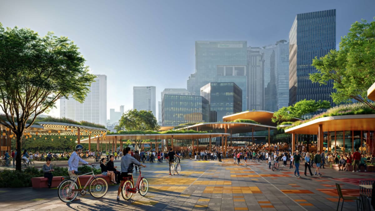
The 21.5km North-South Corridor is meant to enhance connectivity from Singapore’s northern region to the city, serving towns such as Sembawang, Yishun, Ang Mo Kio, Toa Payoh, Novena and Rochor.
It comprises viaducts in the north and underground tunnels in the south.
When surface road traffic is diverted to these viaducts and tunnels, it would free up about 30 football fields of road space for other uses, LTA said previously.
Expected to be completed in phases from 2027, it will also be the country’s first integrated transport corridor that includes express bus lanes, pedestrian paths and cycling trunk routes.
COMMUNITY SPACES, GREENERY
Proposals for the surface streets along the North-South Corridor were drawn up by the landscape architecture firm Henning Larsen.
The firm and its partners have been appointed Master Plan Consultant for the surface streets, LTA announced on Tuesday, after reviewing proposals from 25 other local and international design teams.
According to LTA, Henning Larsen had envisioned the North-South Corridor as a linear corridor featuring four distinct character segments – a 6km Community-Industrial segment, a 7km Ecological Loop, a 5km People’s Wellness Corridor, as well as a 3.5km Cultural-Heritage segment.
“These four segments will collectively be lined with more than 20 public space nodes that reflect the unique characteristics of the adjacent neighbourhoods and destinations,” the agency said.
In Ang Mo Kio, for instance, one idea is to create an area that features nature-based public spaces, cycling paths, footpaths and play areas lined with greenery. These would connect the corridor to neighbourhoods and places such as Bishan-Ang Mo Kio Park.
Meanwhile, the northern stretch of the corridor could include spaces for a playground, art installations and cycling beneath the corridor’s viaduct at Gambas Avenue.


