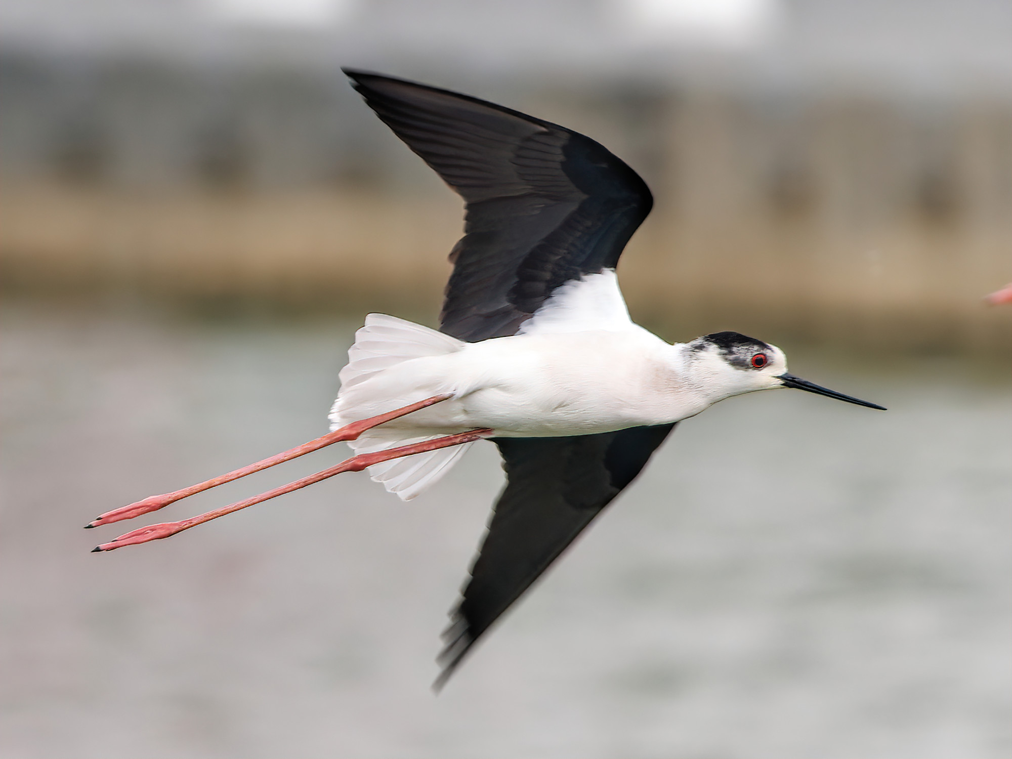
The flocks are smaller, maybe tens of birds at best, but you could enjoy up-close, eyeball-to-eyeball encounters with species such as grey heron, little egrets, common teal – the drakes of these dainty ducks have splashes of green on their ruddy-brown heads – and black-winged stilts, named for their remarkably long legs.
In Hong Kong, birds are not hunted, yet still face many issues including destruction of the very places they call home, whether on a year-round basis, or during seasons when migrants visit, perhaps for long-term stays.
The mudflats, mangroves and fish ponds are all within a wetland complex encompassing Deep Bay, which is actually shallow – it just makes a deep indentation on the coast, shared by Hong Kong and Shenzhen.
Worldwide, tidal flats such as Deep Bay have long been subject to transformations by humans, especially to create new land for agriculture, aquaculture and settlements.
A recent study by researchers at Australia’s University of Queensland and James Cook University, titled “Global protected-area coverage and human pressure on tidal flats”, estimated that 16 per cent of the world’s tidal flats were lost between 1984 and 2016, with changes especially pronounced in East Asia.
An assessment of the Pearl River Delta found that in the past half-century, the length of the natural coastline plummeted from 136.91km (85 miles) to 15.17km, as reclamations covered some 282 sq km (109 square miles) – equivalent to about a quarter of Hong Kong’s total land area.

It is a wonder Deep Bay has survived at all. It surely helped that the border of the New Territories bisected the area, leaving the south shore as part of Hong Kong’s rural hinterland.
Development pressures have intensified since the 1970s, and while parts of Deep Bay have received protection, notably at Mai Po Marshes, conservation measures have often lacked ambition, even verged on timidity.
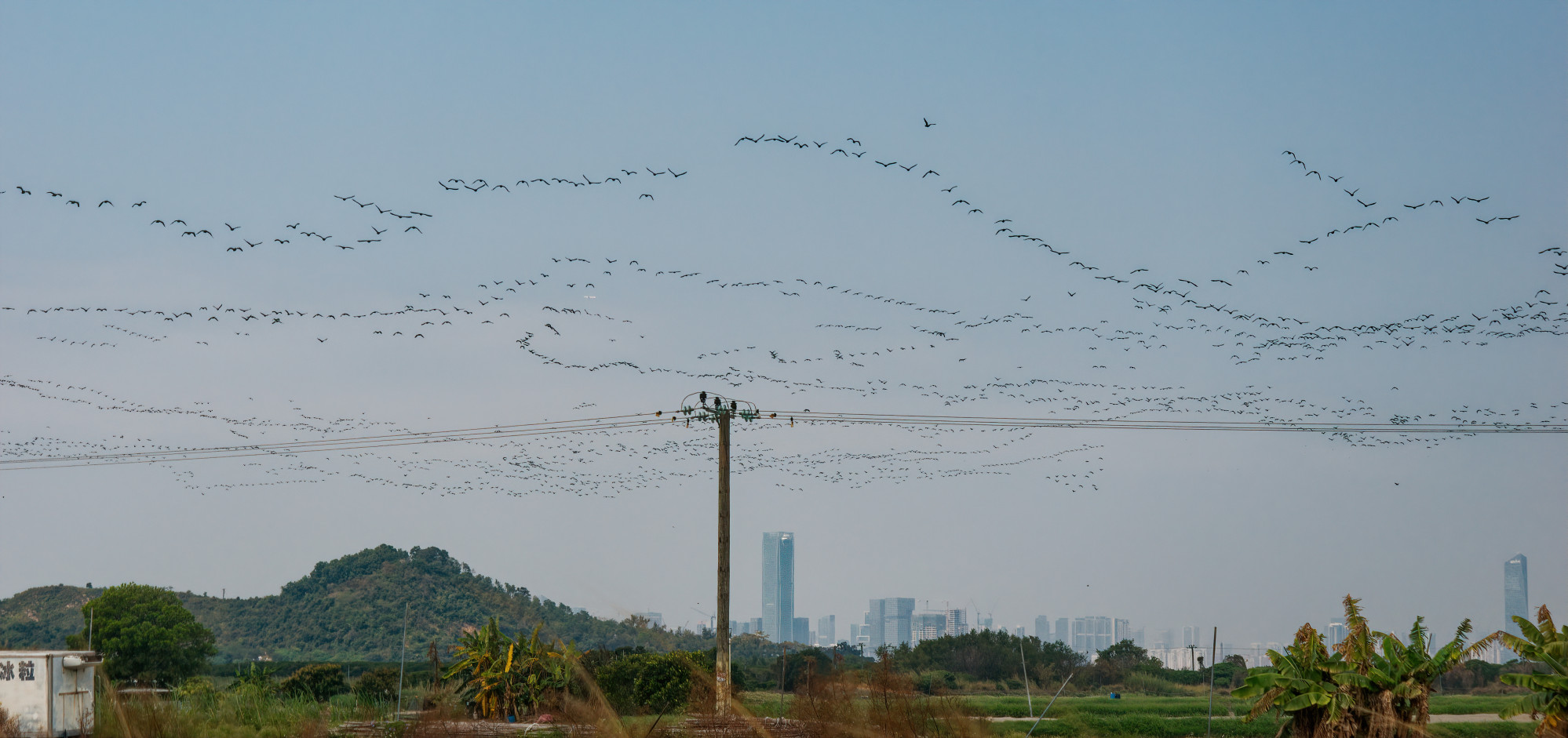
In a 1978 article that was part of the “Geography and the Environment in Southeast Asia” collection of papers, author David Lai Chuen-yan noted that about half of the bay was covered by dwarf mangroves and salt marshes in 1957, yet the 1950s also saw the beginning of extensive reclamation of these areas.
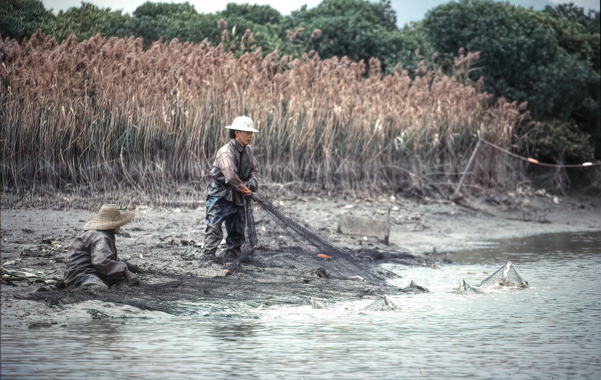
Raised embankments known as bunds were built, to create areas where salt-tolerant rice was grown, and ducks and poultry were reared, along with fish ponds and gei wai – ponds that could be filled at high tide, and emptied at low tide to harvest shrimp. By 1969, the gei wai and fish ponds covered almost half of the total area.
Many waterbirds took a liking to the new ponds, particularly the gei wai at Mai Po, leading to a visit by renowned British conservationist Peter Scott, who had established the Wildfowl Trust in 1946 and, in 1961, was a key founder of the World Wildlife Fund (WWF).
Scott recommended the establishment of a reserve at Mai Po, an idea echoed by the government’s Provisional Council for the Use and Conservation of the Countryside in 1968.
“Local conservationists were astonished by a newspaper report on 16 March 1975 that the government had given its basic approval to the Canadian Overseas Development Company (CODC) to develop 116 ha [hectares] of fish-farming land at Tai Shang Wai [adjoining Mai Po] into a large housing estate for about 30,000 people,” noted Lai in his 1978 article.
Looking back on the case in 1990, then conservation director of WWF-Hong Kong, David Melville, remarked, “This was the period when the rot set in – there has been a lot of new development since then.”
Yet, as Melville related, “Two members of the Hong Kong Bird Watching Society, Mike Webster and Fred Hechtel, petitioned the government to get some sort of conservation measures.
“Without their action, we may have lost Mai Po, which was declared a site of special scientific interest. This increases the awareness of planners that a place is important.”
The housing project went ahead, becoming the upscale suburb of Fairview Park, and in the process destroyed Hong Kong’s last nesting site for the pheasant-tailed jacana, a handsome lily-trotter.
Also, in 1982, the government approved a request from the newly established WWF-Hong Kong to develop a nature reserve at Mai Po. Two years later, the reserve was officially established, and the following year WWF-Hong Kong began work on the Mai Po Marshes Wildlife Education Centre and Nature Reserve.
“Mai Po” has since become nearly synonymous with the Deep Bay wetland. Changes in the early years included a boardwalk through the adjacent mangroves to the mudflats, where a hide enabled unprecedented views of birds in the heart of the bay.
Helped by this plus a lagoon created by combining two gei wai, bird observations increased, with regular sightings of global rarities such as the spoon-billed sandpiper making Mai Po renowned among birdwatchers worldwide.
The sandpiper is a birdwatcher’s bird – typically grey above, white below, barely larger than a sparrow, distinguished for being the only shorebird with a flattened tip to its bill. Soon, however, there was a star bird with more widespread appeal, also with a spoon-shaped bill.
Black-faced spoonbills had been seen regularly in winters since the 1950s, and even though restricted to East Asia they were almost taken for granted until hotshot birdwatcher Peter Kennerley noticed a dearth of information on them, and sent out requests for sightings.

In 1990, he published the best total he could calculate for the entire world population: 288. Suddenly, the black-faced spoonbill had the dubious distinction of being classed as critically endangered, breeding in northeast Asia, and with only three key winter sites: one in each of Taiwan and Vietnam, and Deep Bay.
Standing around 75cm tall and resembling a stout white egret, though with a spatulate bill, the spoonbill became a flagship species, featuring in media articles about Deep Bay and Mai Po.
Largely as the bay supported significant numbers of this and other migratory waterbirds, it qualified for listing as a wetland of international importance under the United Nations’ Ramsar Convention.
After years of lobbying by Melville and others, the government agreed to apply for listing, and in 1995 Inner Deep Bay became a Ramsar Site, initially through the British government, and through the China government from 1997.

To safeguard the Ramsar Site, and aim for the “wise use” of wetland called for in the convention, the Hong Kong government established zones ranging from the mudflats in the core, to a buffer zone dominated by fish ponds, with regulations restricting the types of developments permitted.
By then, it was too late to save around 5 sq km of fish ponds and farmland near Yuen Long. This had been bought by the impressively named, now defunct Mightycity Company, which in the 1980s began covering the area with sand and rubble, for construction of the Tin Shui Wai new town.
By accident, pools and grassland on the reclaimed area attracted a variety of birds, and in 1998 the government decided to build the Hong Kong Wetland Park to mitigate their loss.
With the year 2000 approaching, the wetland park morphed into one of the government’s Millennium Projects, involving the Tourism Commission along with the Agriculture, Fisheries and Conservation Department.
By the time it opened, in 2006, around HK$500 million had been spent on facilities including an expansive visitor centre featuring a walk-in Arctic diorama complete with a caribou specimen, an exhibit with Indian crocodiles swimming amid life-size replicas of mangrove trees, and a 3D theatre with moving seats (and work is under way on new exhibits, with more relevance to local wetlands).
Outside, water was pumped down an artificial cascade to an almost sterile freshwater area; and at the far end of the park there was a tidal lagoon that became the only good place for birds, yet occupied less than 10 per cent of the park’s area and paled in comparison with Mai Po.
The massive pond filling-in and change of land uses will inevitably result in the loss of wetland area and its ecological function
WWF-Hong Kong submission to the government on the San Tin Technopole plan
Meanwhile, the rot continued. Deep Bay itself changed as mangroves spread, and the mudflat level rose, with more silt arriving when the Shenzhen River was straightened to alleviate the risk of flooding.
The overall result was a reduced area of tidal flats where birds could feed. Village housing, scrapyards, vehicle repair yards, truck parks and former fields with containers stacked six high fringed the fish ponds, many of which fell into disuse given business challenges and uncertainties regarding the future.
These uncertainties stemmed partly from developers large and small buying areas of fish ponds, with notions of profitable ventures.
In the early 1990s, Henderson Land planned to build Sunnyville, a housing estate with a golf course on land near Mai Po.
WWF-Hong Kong was initially supportive, especially as the developer planned to create a nature reserve by restoring an area of fish ponds to mangroves and marshes, but later joined an alliance opposing the scheme – given increased recognition that fish ponds are important for wildlife, plus the government better enforcing regulations that protect them.
Court cases ensued, and Sunnyville eventually reached the High Court before being halted. It seems Henderson had set a precedent, however, as similar plans were announced for other fish pond areas, likewise with promises to compensate for destroying some fish ponds by landscaping and managing others nearby so they would attract more wildlife.
Conservationists were sceptical of such benefits, and the grander plans were stalled.
One of them – involving a partnership between WWF-Hong Kong and Cheung Kong, which aimed to build housing on part of a fish ponds area at Fung Lok Wai – was only brought to a halt after WWF-Hong Kong left the partnership in 2013, and Green Sense sought a judicial review the following year, leading to the Town Planning Board to reconsider the application six years later.
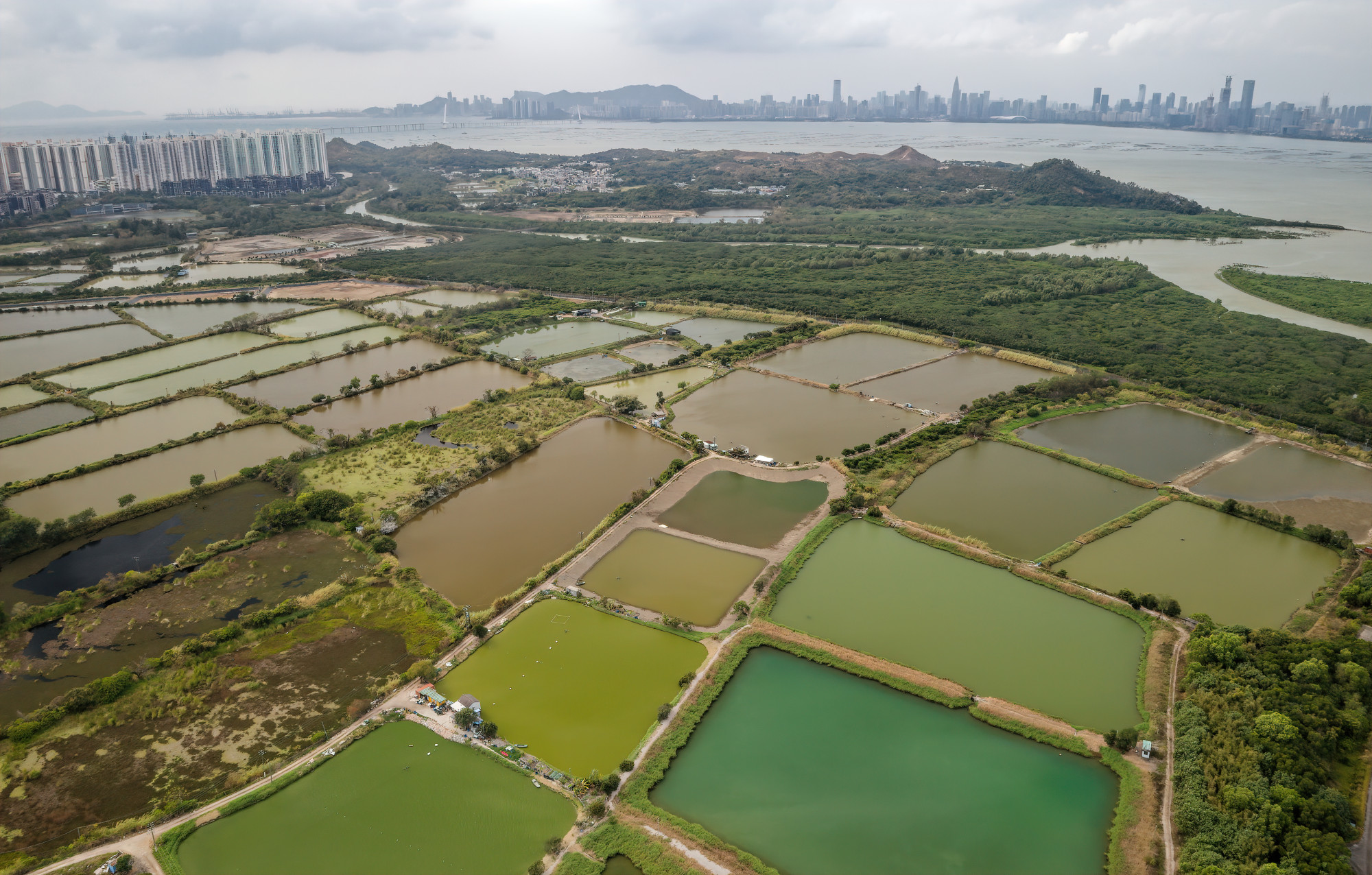
Yet this did not mean Fung Lok Wai was safe from harm. In March 2022, the Town Planning Board won an appeal against the judicial review, and the next month an idea for developing it entirely, for housing covering an area larger than Tin Shui Wai, was raised in a board meeting.
In response, representatives from the Planning Department, Civil Engineering and Development Department and Housing Department said the proposal was not in line with the planning intention of the area, which is zoned as “Comprehensive Development and Wetland Enhancement Area”.
Meanwhile, on the north side of the bay, there were few such concerns about conservation after Shenzhen was established in 1979.
A Nasa satellite image taken in 1988 shows extensive ponds and marshes; just eight years later these had gone, making way for new urban areas and reclamations ready for construction that continues today.
Little but a belt of mangroves remains, afforded some protection in the Guangdong Futian Mangrove Nature Reserve.
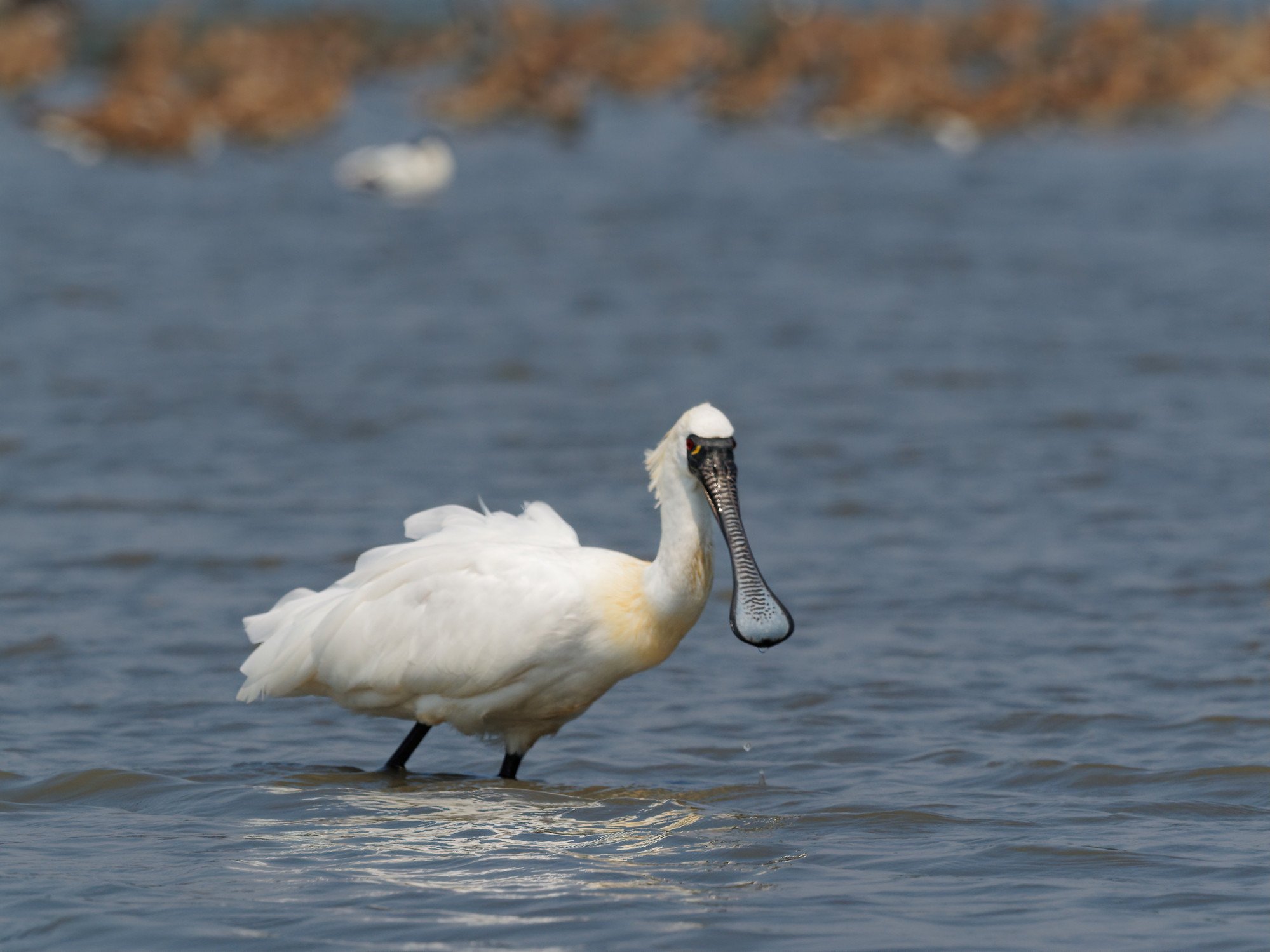
As Deep Bay was transformed, the wetland birdlife changed, too. Hearteningly, numbers of black-faced spoonbills surged, with 527 recorded during the 2022/23 winter.
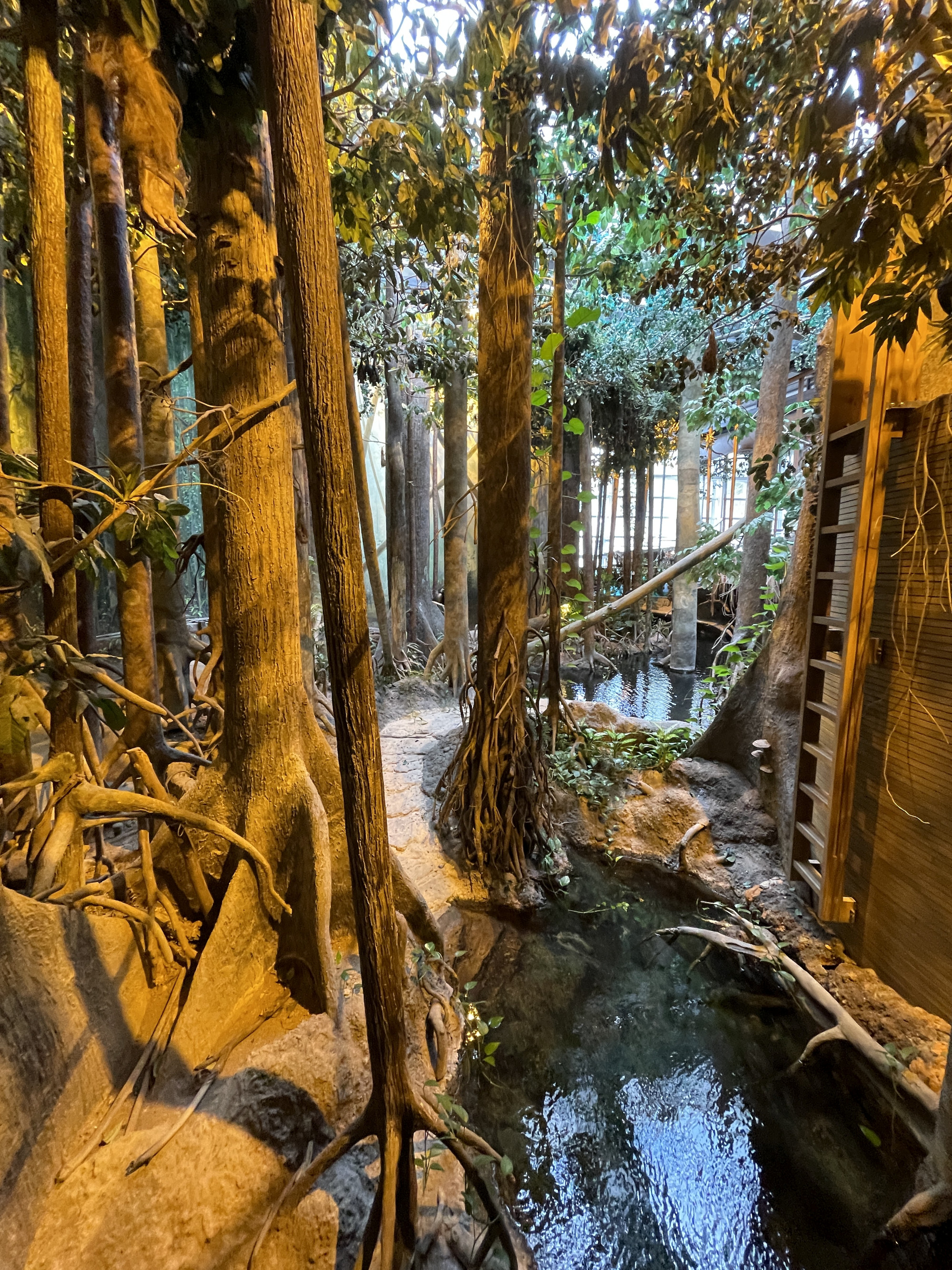
Yet this rise was due to factors well beyond Deep Bay, as the world population rapidly increased to more than 66,000 after Kennerley’s wake-up call prompted conservation efforts from its breeding grounds in west Korea to multiple migration stopovers and winter haunts.
The situation of other species is mixed, and while overall numbers fluctuate from year to year, the total number of waterbirds recorded in Deep Bay during winter rose to a high of more than 90,000 in early 2008 but has since fallen back to below 55,000.
These tallies prompted researchers from the Chinese University of Hong Kong and the University of Essex, in Britain, to publish a paper in September 2023 titled “Rise and fall of an avian oasis: Tracking the impacts of land use change in a key coastal wetland in the world’s largest megalopolis”, citing pollution and reclamation as key reasons for the declines of birds such as ducks and gulls.
November 2023 saw the opening of the WWF Jockey Club Mai Po Peter Scott Visitor Centre, a building as grand as its name, rather resembling a city museum though with little to see inside, and with visitor numbers tightly restricted.
This was built with a Jockey Club donation of HK$347 million (US$44 million) for infrastructure, including the visitor centre, upgrading footpaths and building two new viewing hides.

While humans benefit from the donation, it did not cover infrastructure for Mai Po’s wildlife, such as the ponds and embankments that can likewise require revamps. The Jockey Club, WWF-Hong Kong and Peter Cornthwaite – CEO of WWF-Hong Kong as the infrastructure work was planned – declined to comment.
Pond landscaping aside, day-to-day management of the habitats can be costly, and the reserve team struggles for adequate funds, despite annual financial support from the government topped up by fundraising events such as the Big Bird Race.
One obvious way to generate more income would be allowing in more visitors.
Worldwide, wetland reserves tend to welcome visitors, with fees helping support ongoing habitat improvements. Mai Po is an outlier, with a restrictive permit system and the Wetland Park supposedly more for the masses.
It is somewhat ironic that Peter Scott is commemorated in the visitor centre’s name – he was a strong advocate of bringing wildlife and people together; in 2023, the reserve he founded at Slimbridge in Britain attracted some 245,000 visitors, while the slightly larger Mai Po receives around 30,000 visitors per year, half of them schoolchildren.

Plus, having more visitors can boost support for conservation measures. Consider, say, the public outcry as work began on a private project at Ham Tin, on the Sai Kung Peninsula, which is popular with hikers.
A dedicated Facebook group attracted 46,000 members in just four days, and the publicity led to government intervention, putting an end to the project.
In Deep Bay, by contrast, potential issues are typically contested by just a handful of green groups.
“The massive pond filling-in and change of land uses will inevitably result in the loss of wetland area and its ecological function,” predicts WWF-Hong Kong in a submission to the government.
“Data show that the San Tin fish ponds are important foraging, roosting and breeding habitats for waterbirds and the extremely rare Eurasian otter.”
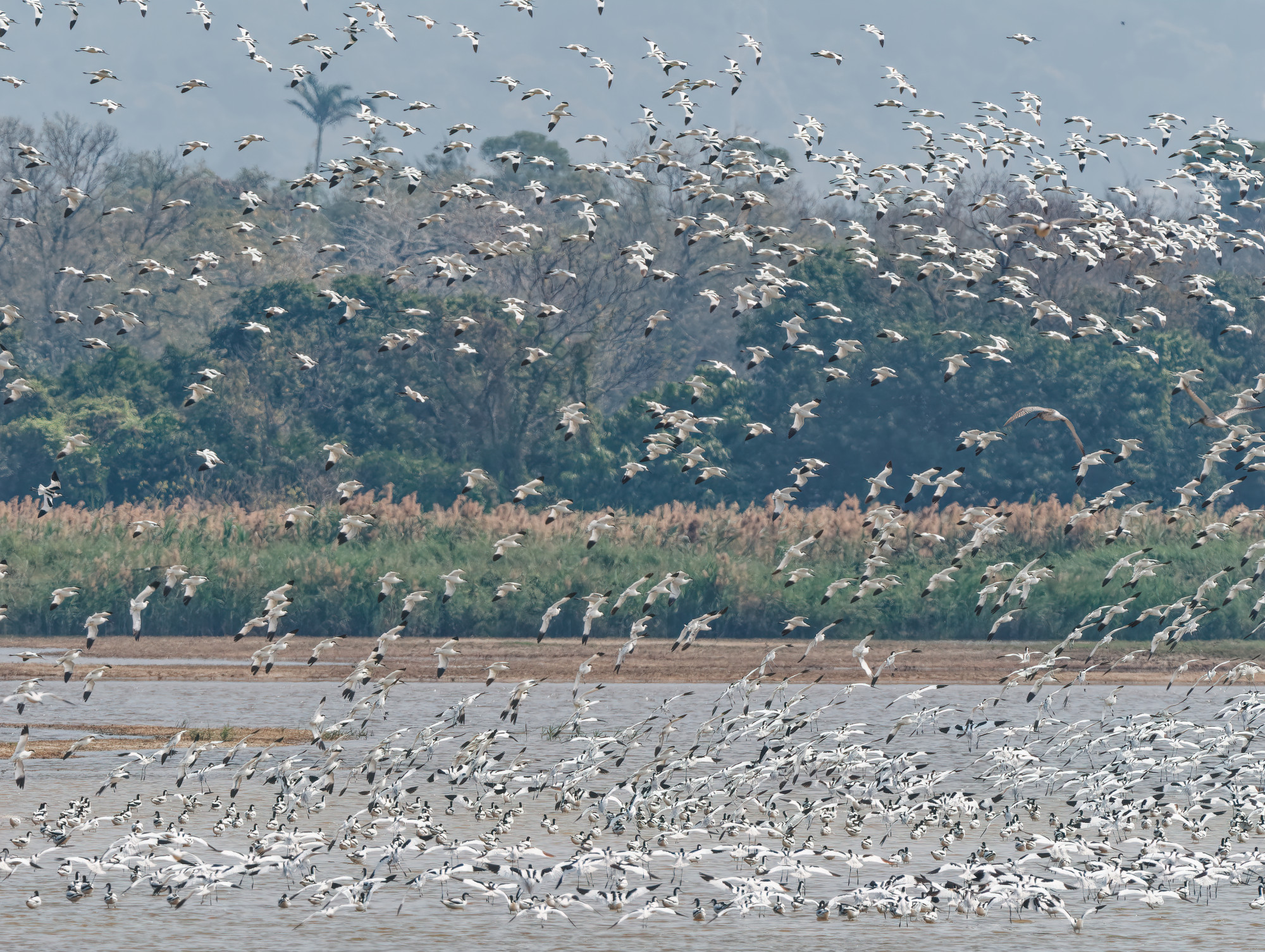
The plans for San Tin would seem to conflict with Town Planning Board guidelines, according to which, “new development within the wetland conservation area would not be allowed unless it is an essential infrastructural project with overriding public interest”.
The Planning Department is yet to respond to an inquiry regarding the overriding reasons for part of the Technopole being built on the fish ponds area; Charles Wong Sai-chu, of the Civil Engineering and Development Department’s Public Relations Unit, noted that flood attenuation facilities and revitalisation of drainage channels will further improve the drainage capacity while sidestepping a question about using wetlands rather than underground storage for flood alleviation.
Much like the stalled developers’ proposals, the Technopole plans call for enhancing nearby fish ponds within a wetland conservation park.
Yet with no details forthcoming, green groups are sceptical this can mitigate for the loss of ponds; especially as the park may not be finalised till 2039, which Yu Yat-tung, director of the Hong Kong Bird Watching Society, describes as “not acceptable”.

According to Simon Chan Kin-fung, assistant director (conservation) of the Agriculture, Fisheries and Conservation Department, two more wetland conservation parks are planned, but will be based on experience with the first of the trio.
Such caution apparently overlooks the wealth of expertise in managing wetland reserves in Hong Kong and worldwide, and the fact the wetland parks are almost ready-made, with scope for enhancements akin to Mai Po’s ongoing evolution.
As San Tin is on the Shenzhen River floodplain, the Technopole buildings here will require defences against rainstorms.
In November 2023, Civil Engineering and Development Department project manager Tony Cheung Ka-leung revealed plans for underground facilities with a capacity of 200,000 cubic metres.
Cheung also said fish ponds could not control floods properly, which is at odds with other government information – and the results of floodplain restoration projects in places such as Germany and California, in the United States, which have significantly reduced flooding along with enhancing climate-change adaptation.
Suppose there could be less construction at San Tin, leaving room for protecting a wetland area 50 per cent larger than currently planned: “The remaining fish ponds […] can be developed as the Sam Po Shue Wetland Conservation Park covering an area of about 520 hectares,” with enhanced biodiversity and protection of birds’ flight paths.
Rather than being a green group’s pipe dream, this proposal was in the Northern Metropolis Development Strategy published by the government in October 2021.
According to this strategy, the wetland conservation parks would have multiple functions including flood prevention.
A rough calculation for Sam Po Shue, based on the water level being able to rise by a metre across half the area, suggests it could accept more than 10 times the capacity of the proposed underground facilities, which should benefit flood-prone Shenzhen on the other side of the river.
Ramsar sites are not intended to be sacrosanct, no-go zones for people, and the strategy also anticipates the wetland conservation parks including aquaculture as well as public education and recreational facilities.
It estimates the total area of the entire system of wetlands and coastal ecological conservation can be about 2,000 hectares, noting: “The entire system can serve as a precious ecological habitat with outdoor recreational resources collectively owned and cherished by all Hong Kong citizens.”


