Alishan is one of the island’s most popular tourism destinations, complete with lumbering tour buses, large groups of hikers and overpriced, underwhelming hotels. But it is possible to avoid the crowds and enjoy the stillness this natural playground offers.
Restrictions on individual mainland Chinese tourists visiting Taiwan started in 2019; this, and the fact I am in Alishan in the middle of the week, have increased my chances of finding solitude. In addition, I have forgone a hotel in favour of camping and have rented a car, giving me a wider choice of day hikes.
Provincial Highway 18, also known as the Alishan Highway, reaches the mountains via Zhongpu township, renowned for its turkey farms and restaurants. The highway offers plenty of curves, but on the smaller routes, driving becomes a sport in and of itself.
The steep climb of the narrow, single tracks is sometimes almost too much for my little Toyota Yaris, but it is down the rougher tracks that I find pockets of mountain magic to call my own.
Forget street food – why hiking in Taiwan is picking up pace
Forget street food – why hiking in Taiwan is picking up pace
Alishan’s forests are known for their giant red cypress and yellow cypress trees, but many of the oldest and largest were felled during the 50 years of Japanese occupation (1895-1945).
Logging continued into the 1970s, but several Formosa red cypresses that are believed to be more than 2,000 years old still stand.
In 2001, Alishan was declared a National Scenic Area, ensuring the protection of the remaining trees across its 415 square kilometres (160 square miles).
Challenge yourself on one of Greater Taipei’s most difficult day hikes
Challenge yourself on one of Greater Taipei’s most difficult day hikes
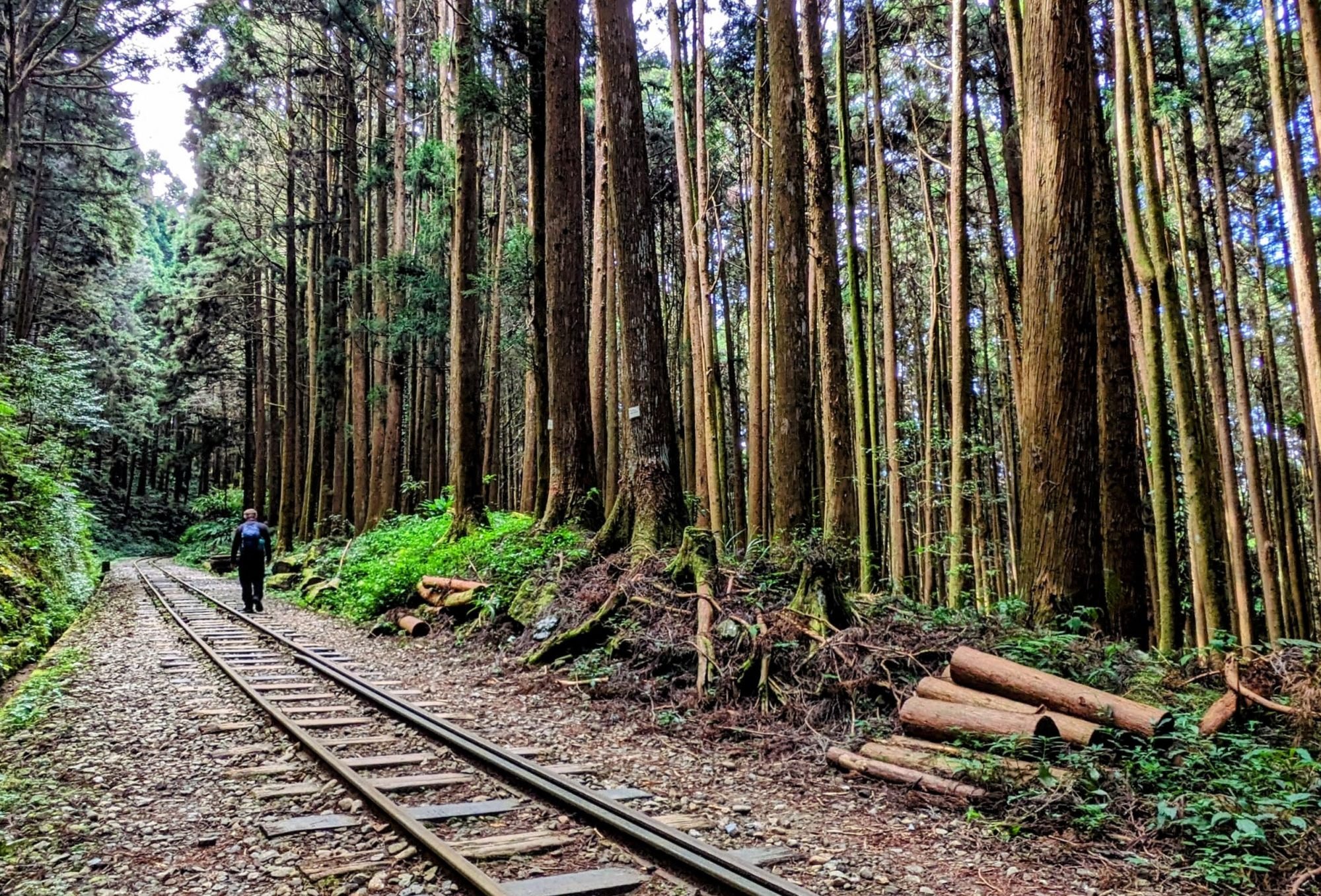
The Tefuye Ancient Trail was a hunting path for indigenous Taiwanese before being used by the Japanese to build the Shuishan Line, one of a number of narrow-gauge railways built in these forests to carry timber down to the coast.
Parts of the network are unused and decaying, but others are in operation as the Alishan Forest Railway. Carrying tourists instead of logs on its 86km (53-mile) network, trains run between 22 stations on a limited schedule and tickets must be booked well in advance.
The Tefuye Ancient Trail also functions as a route up the 3,952-metre (12,965ft) Yu Shan, or Jade Mountain, Taiwan’s tallest peak. The mountain has become a popular attraction and hiking permits can take months to obtain.

Permits aren’t needed for the rest of the trail, though, and it is the first day hike I undertake.
The trail follows old railway tracks, with new pedestrian bridges spanning deep ravines where rotten trestle bridges are no longer safe to use. The giant stumps of harvested trees are now overgrown with moss, but they dominate the forest floor.
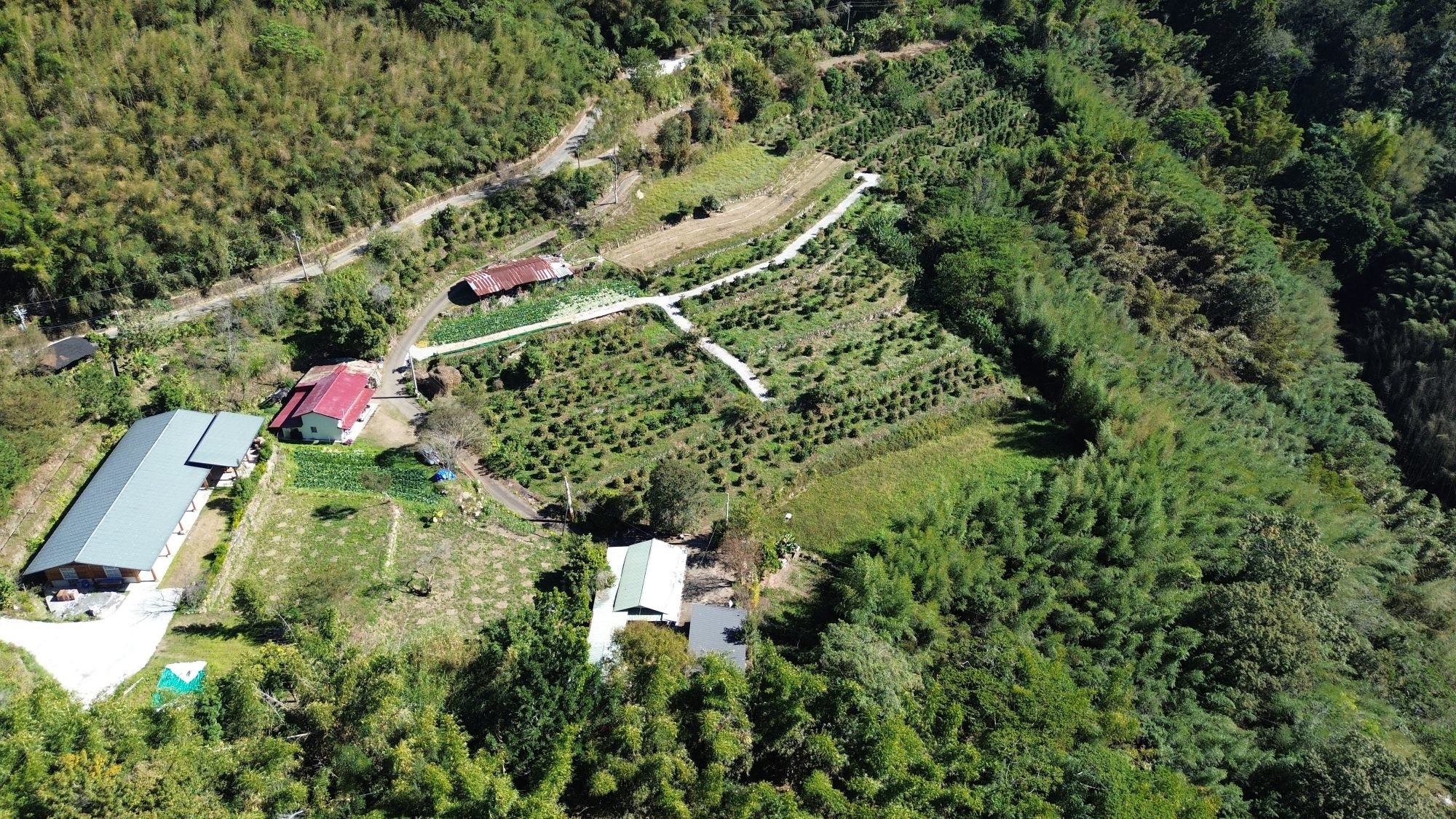
Alishan is a tea-growing region, producing alpine Oolong and Jinxuan among other varieties, and on my hikes I encounter numerous tidy tea fields in the mountains. But among the uniformly cropped tea bushes are others sporting bright red coffee cherries.
Taiwan’s stunning beauty is captured in Taroko National Park
Taiwan’s stunning beauty is captured in Taroko National Park
It is said that the British brought the first coffee plants to Taiwan, in the late 1800s. Soon, though, native people were growing coffee themselves and it became a cash crop during Japanese occupation, although production declined after the Japanese left.
About 20 years ago, a slow revival of coffee growing began in the region, and in the past decade Alishan growers have won awards. Today, the fields and equipment of dozens of artisan growers and roasters dot the hillsides at elevations of 600 metres to 1,400 metres.
The crop has become so popular that the local tourism board provides dedicated maps to facilitate coffee-estate tours.
Each day after I have exhausted myself hiking up and down the mountains, I drive back to the Hunter Story Studio, where an aboriginal brother and sister have turned their parents’ farmland into a coffee plantation and two small campsites within a few minutes of each other, each with hot showers and cooking facilities.
The name refers to the mountain traditions of the parents, with wild boar and deer skins hanging from the rafters of one of the cooking-fire shelters evidence of their prowess.

Alishan is still home to wildlife such as Reeves’s muntjac and barking deer, and I note signs that warn of recent black bear sightings. As well as trees fruiting with avocado and papaya, surrounding the camping area are coffee plants laden with ripening cherries, some of which are destined for steaming cups in the camping grounds’ small cafe.
The Hunter Story farm has some 1,200 plants, which produce about 650kg (1,433lb) of unprocessed coffee cherries each year. That yields less than 100kg of brew-ready coffee beans, which are processed and roasted in gleaming new equipment subsidised by the government, the entire operation housed in a new tin shed.
Voyu Poiconx, who leads the family coffee business, says” “We’d need about 20 people to pick tea leaves each year, which costs a lot of money. With coffee, it’s very busy at some points of the year, but I can do most of the work myself, so the profits are better.”
While daytime highs have me sweating on the trails, the temperature drops rapidly. The thick afternoon fog and heavy nighttime dew may nourish the coffee plants but they leave me shivering in a dripping wet tent.

Apps such as All Trails and open source maps such as maps.me, combined with the mobility of a rental car, allow me to create my own routes, or at least pick my starting points.
This means I can find lesser trodden paths in some of the more popular hiking areas and avoid the crowds that tend to stay in well-defined, accessible areas.
That’s how I end up, on the last day of my trip, pulling into a narrow parking spot in the Tataka Recreation Area, scanning the roadside for the telltale signs of a trail head.
Soon I find the ancient moss-covered stone steps that lead up the mountainside. Tataka is dotted with red and Kawakami maples, the leaves of which turn bright red in autumn, turning the trail into a kaleidoscope of colour.
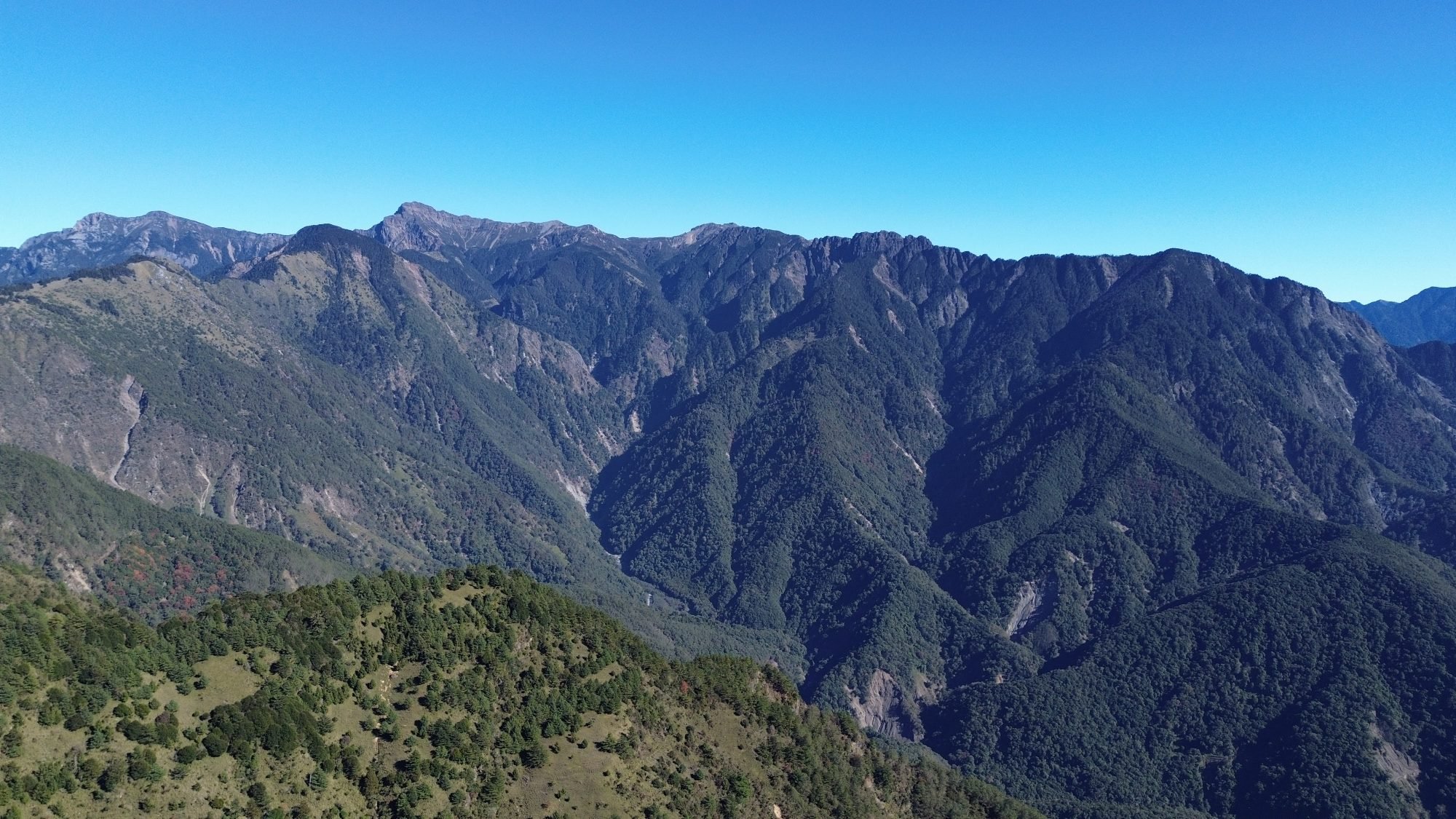
I keep an eye on the app, and soon find a faint, unmarked trail that leads up Lulin Front Mountain. It is a minor peak, at 2,826 metres, but it offers sweeping views of Alishan and the patchwork of tea and coffee plantations on the hillsides – and far below, along the highway, a car park filled with buses, no doubt carrying a gaggle of hikers that will never find me up here.


