
China is stepping up its use of technology such as satellites and radar in disaster relief work as extreme weather events become more frequent.
Lessons have been learned from the rescue efforts of the devastating 2008 earthquake in Sichuan in 2008 that killed more than 69,000 people and wounded more than 370,000, according to Weng Qihao, chair professor at the Department of Land Surveying and Geo-informatics of the Hong Kong Polytechnic University.
At the time satellite coverage of the area affected was patchy and many of the images that were provided were of a poor quality.
“Therefore the rescue team couldn’t know at first where the disaster areas were and which roads were still passable. China learned a big lesson from that,” Weng said.
China now has more than 900 satellites in orbit which are widely used to monitor natural disasters and help with relief and reconstruction efforts.
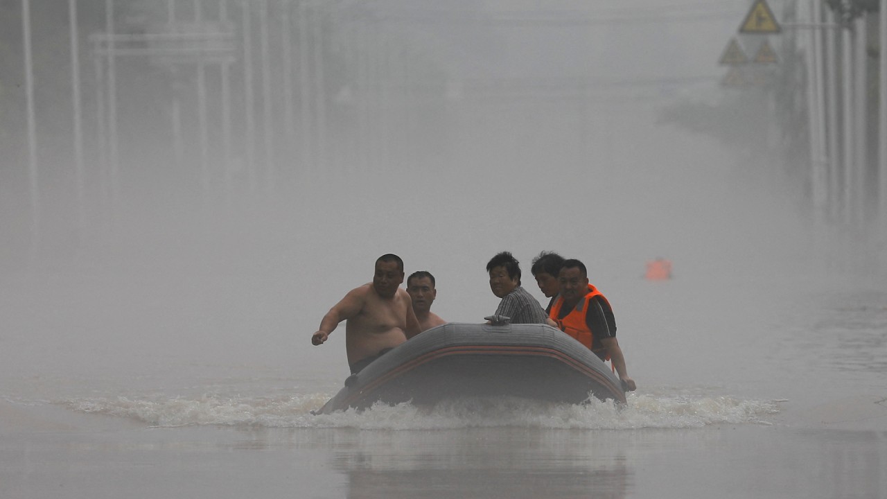
Weng cited the use of the technology when a dyke was breached in Dongting Lake during heavy rains in the central province of Hunan earlier this month.
Satellites were used to carry out real-time tracking of rainfall patterns while remote sensing satellite images helped keep track of floodwaters and local traffic conditions during an operation to seal the breach, state broadcaster CCTV reported.
China has now established a complete system of operational satellites for disaster relief and prevention, although improvements are still needed, according to Bo Yanchen, a professor of geographical science at Beijing Normal University.
“China’s meteorological satellites are important in the forecasting of typhoon movements and agricultural droughts. And China’s Gaofen satellites serve an important role in risk zoning and damage assessment during heavy natural disasters.”
But Bo said: “China needs more satellites capable of obtaining clear images, as well as further synergies with data from multi-source satellites, in order to improve the timeliness and accuracy of the monitoring of natural disasters.”

Weng also said satellites could prevent disasters recurring in areas affected by extreme weather. “By observation of satellite images and computer modelling, scientists can assess the areas and populations which are vulnerable to re-exposure to disasters.” he said.
Drones have also been used to reduce the impact of the recent heavy flooding in Hunan, where more than 1,400 communications base stations were disrupted in Pingjiang county during the worst flooding seen in 70 years on July 4.
The disruption happened during a crucial period for college entrance applications and students risked losing out if communications were not restored, prompting the local government to use a communications drone with a public network base station.
Meanwhile, a new weather radar operating system ROSE3.0 – which is designed to improve the accuracy of severe weather warnings and rainfall monitoring – has been installed in 123 radar stations including in Beijing and the surrounding province of Hebei for a three-month trial.
02:02
China’s Yangtze River floods for first time in 2024, hits some areas hardest in 25 years
China’s Yangtze River floods for first time in 2024, hits some areas hardest in 25 years
Extreme weather will become more frequent in the future due to global warming, Weng said.
“China has done very well in building high-speed rail, highway networks and aerospace. If these experiences can be used in building infrastructure to cope with extreme weather, China will do a better job of preventing and responding to disasters.”
He also said the Hong Kong authorities need to step up their efforts in this area. “Hong Kong needs to do better in early warning and mitigation for the next possible similar natural disaster, including the placement of infrastructure like ground-based monitors, and the establishment of relevant computer models to tell drivers which roads are passable,” Weng said.


