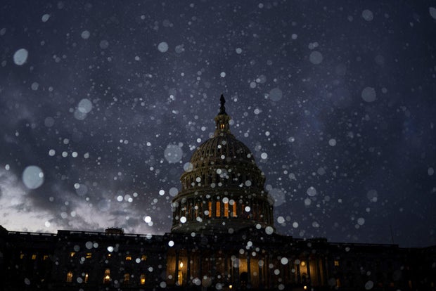
A strong snow and ice storm followed by brutally cold conditions will soon smack the eastern two-thirds of the United States as frigid air escapes the Arctic, plunging as far south as Florida, meteorologists forecast.
Starting Saturday, millions of people are going to be hit by moderate to heavy snow from Kansas City to Washington — including a high chance of at least 8 inches of snow between central Kansas and Indiana — the National Weather Service warned Friday.
Winter storm advisories stretch 1,500 miles from West Kansas to West Virginia, according to CBS News national weather correspondent Rob Marciano.
Dangerous ice particularly lethal to power lines — “so heavy like paste, it’s hard to move,” said private meteorologist Ryan Maue — is likely to set in just south of that in southern Kansas, Missouri, Illinois, Indiana and much of Kentucky and West Virginia.
“It’s going to be a mess, a potential disaster,” Maue said. “This is something we haven’t seen in quite a while.”
Kent Nishimura/Bloomberg via Getty Images
National Weather Service meteorologist Alex Lamers said Friday that the potential for blizzard conditions is increasing, particularly in Kansas and neighboring portions of the Central Plains, and that wind gusts may reach 50 mph at times.
CBS Boston Meteorologist Jacob Wycoff indicated Friday that the Northeast would miss the brunt of the storm, but the Mid-Atlantic could get anywhere from 10 to 12 inches of snow or more in some areas by Monday.
“Through the mountains of West Virginia, into parts of southern Virginia, they’re going to be the bullseye spots,” Wycoff said.
Ahead of the storm’s arrival, major U.S. airlines announced they were waiving change fees and penalties for flyers during this period. That included American Airlines, Delta Air Lines, Southwest Airlines and United Airlines.
As the storm moves out on Monday, hundreds of millions of people in the eastern two-thirds of the nation will be plunged into dangerous bone-chilling air and wind chills all week, government and private forecasters said. Temperatures could be 12 to 25 degrees Fahrenheit colder than normal as the dreaded polar vortex stretches down from the high Arctic bringing chilly weather, they said.
“This could lead to the coldest January for the U.S. since 2011,” AccuWeather Director of Forecast Operations Dan DePodwin said Friday. “It’s not just one day of this. It’s going to be three to five, in some cases a week or more of temperatures that are well below historical average.”
The biggest drop below normal is likely to be centered over the Ohio Valley, but significant unusual cold will extend southward all the way to the Gulf Coast, said Danny Barandiaran, a meteorologist at the National Weather Service’s Climate Prediction Center.
Forecasts have moderated a bit from last week when some computer models envisioned the worst cold spell in decades. Now it’s unlikely many cold records will break, but it will still have a big impact on the country, Barandiaran said.
There should even be a hard freeze in Florida, while areas near the Canadian border will be around zero, Barandiaran said.
“It’s not going to thaw out for awhile,” Maue said.
Woodwell Climate Research Institute climate scientist Jennifer Francis said the initial blasting winds from the north may shock people after a fairly warm last couple of years.
“The wind chills are going to be brutal,” she said. “There’ll be a lot of whining, but it is winter… . Just because the globe is warming doesn’t mean these cold snaps are going away.”
This double dose of nasty weather may be triggered in part by a fast-warming Arctic, serving as a not-so-gentle reminder that climate change gooses weather extremes, even winter ones, said Francis and Judah Cohen, seasonal forecast director at the private firm Atmospheric and Environmental Research.
The polar vortex, ultra-cold air spinning like a top 15 to 30 miles high, usually stays penned up above the North Pole. But sometimes it escapes or stretches down to the United States, Europe or Asia. And that’s when large numbers of people get intense doses of cold.
Cohen and colleagues have published several studies showing an increase in the polar vortex stretching or wandering. Cohen, Francis and others last month published a study that attributed these cold outbreaks partly to changes from an Arctic that’s warming four times faster than the rest of the globe.
The change in temperature and loss of Arctic sea ice make the jet stream — the river of air that moves storm fronts — wavier, allowing plunges of cold air to come south and extreme weather to stay put, Francis said.
What’s about to hit “is a really good example of these kinds of cases,” Francis said.


